The production methods of various sand table models are also different. Here are large military model manufacturers to give you a simple example of models. Military sand table models are usually made according to the following steps:
Starting from the flat ground of a ten thousand foot tall building, the building manufacturing must build a good base, and the manufacturing principle is the same. First, we need to place the sand table model frame stably, and then let the sand, such as sand, use special tools to flatten and compress the sand, and then mark it with marks, which represent different landform facilities, etc.
The sand table model simulates the terrain and landform in a timely manner, which is convenient for the commander to observe the reasonable layout. Therefore, the preparation of the terrain and landform is very important and is a key step in the preparation of the military sand table model. The preparation of the sand table model is to control the basic shape and contour line of the terrain and landform, and then spend the corresponding positions of various terrain and landform on the sand table model, and then insert a flag, The height of the flag is the proportion height of the terrain and landform plus the thickness of the bottom sand, and then the sand table model with more flags is created to truly restore the terrain and landform.
The last step is for the landform, and this step timely makes some facilities on the sand table model, including houses, railways, bridges, trees and independent features, roads and rural roads are represented by paper (cloth strips) with different widths, and forests are represented by twigs or green sawdust, etc. in this step, we mainly pay attention to that the size of features should adapt to the horizontal scale, and the relationship and location requirements are appropriate.
It is mainly to check whether the proportion of the military sand table model is appropriate, whether the proportion is marked, and the north-south orientation of the sand table model. If there is a need for a coordinate network, a thin line system can be used to make a coordinate network.
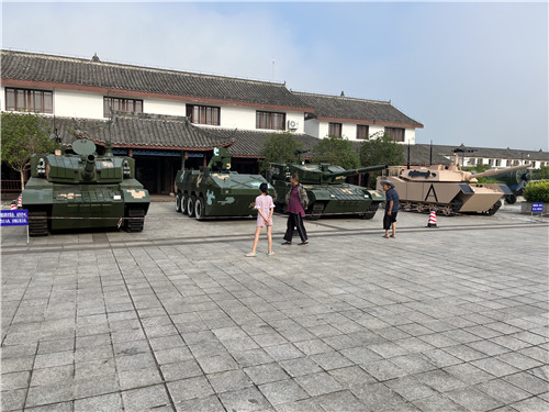
The setting of military sand table model tactics is to use object blocks to set up and simulate friendly and enemy troops. The specific setting must be based on tactics.
The military sand table model is usually made according to the relevant steps. If you are interested in customized procurement, please follow our website http:// Contact me.